Visited in: September 2014
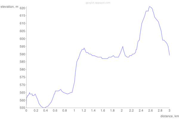
Walking time (if alone): appr. 3h
Walking distance: appr. 3km
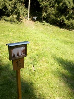
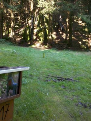
Number of targets: 32
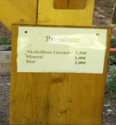
Cost: 7 €
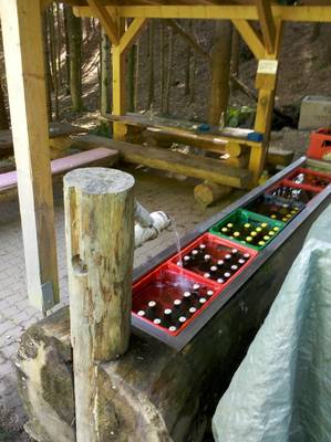
Note: there is a station with cold drinks
Homepage: BSV Yspertal
Directions: Google-Maps-Route
GPS of the parcours route: GPX-File, KML-File
The Parcous Yspertal is in the vicinity of Persenbeug in Lower Austria and is managed by the Archery Club Yspertal. For directions, see their webpage:
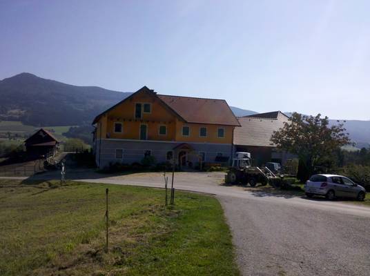
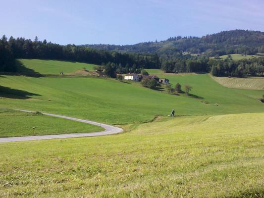
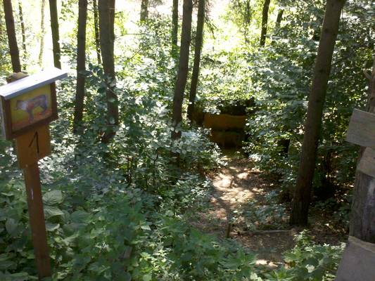
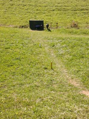
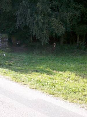
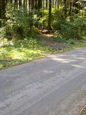
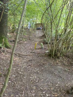
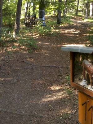
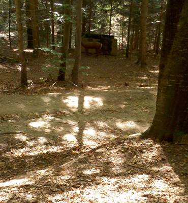
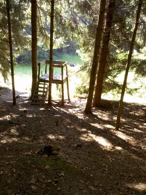
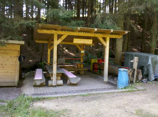
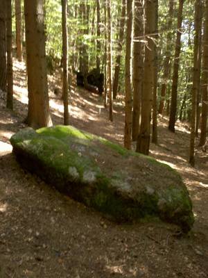
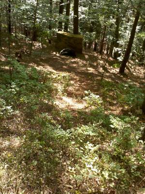
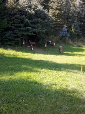
http://www.bogensportverein-yspertal.at/anfahrt.html. You can park in front of the horse stables. From there, you continue on foot, left past the building and behind it towards the club house – there is a parcours book there and, sometimes, envelopes to pay and throw in the post box. The practice range is behind the club house, and from there on you go right in front of the barn and through the gates to the first target. Initially, you will move across several meadows along the road. There are several shot across the road, so be wary of drivers. Anyway, the traffic is light enough to not disturb the archers too much. You continue up and then steeply downhill into the forest. In the late autumn or in case of rain, this stretch can be very slippery and put a strain on your knees. If the weather is clear, normal hiking shoes should be enough, but opt for proper mountain shoes and gaiters if it rains. When you reach down, there is a shot from a small tower, and afterwards you will discover the rest station. It is well supplied with cold drinks, including beer (which is strange, because alcohol consumption is forbidden in the whole area of the parcours), and several canopied benches invite you to rest a while.
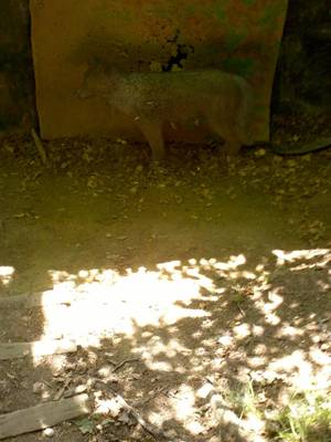
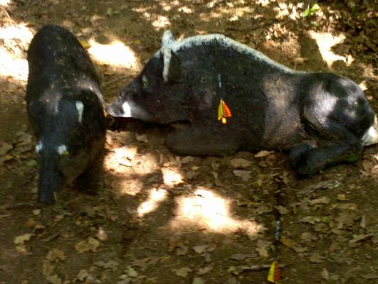
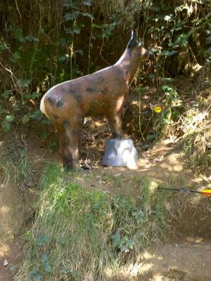
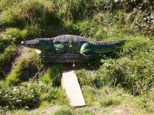
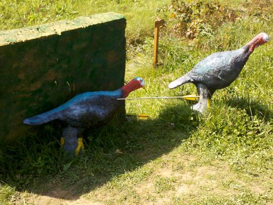
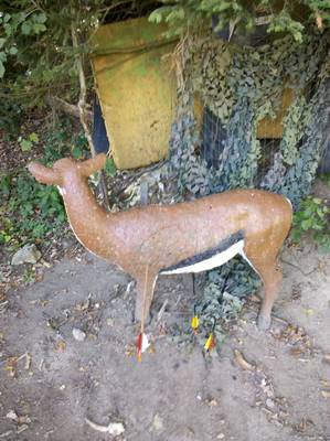
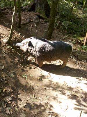
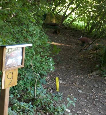
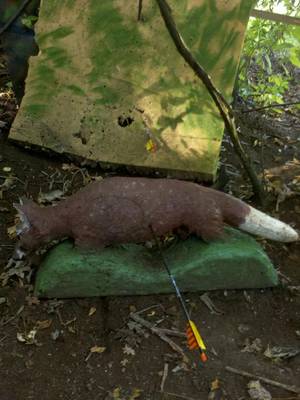
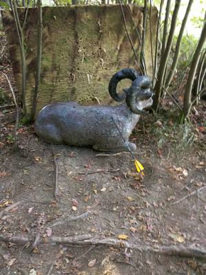
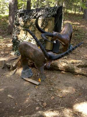
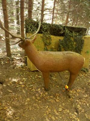
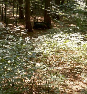
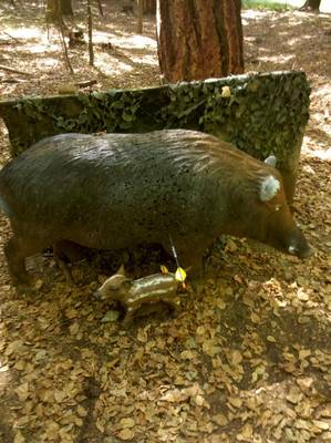
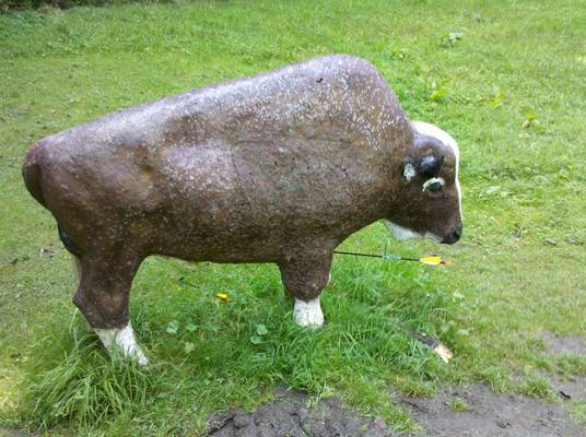
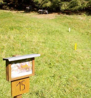
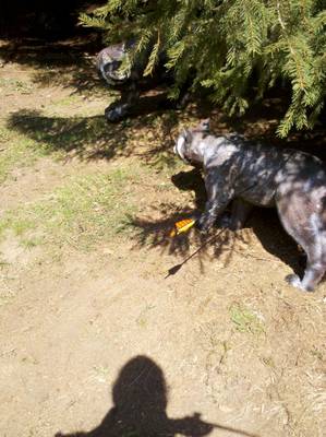
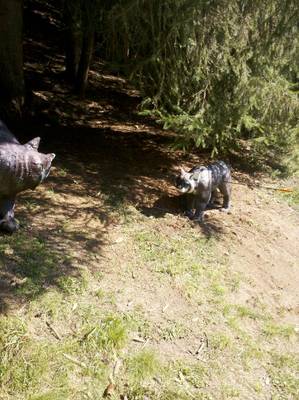
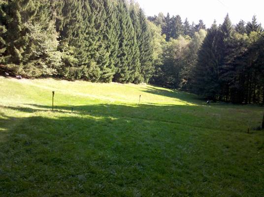
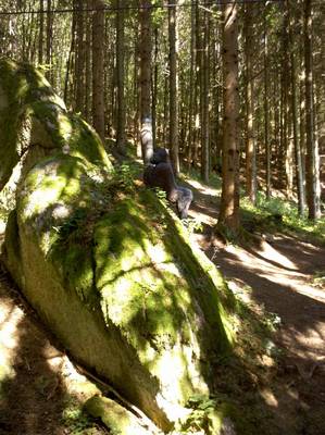
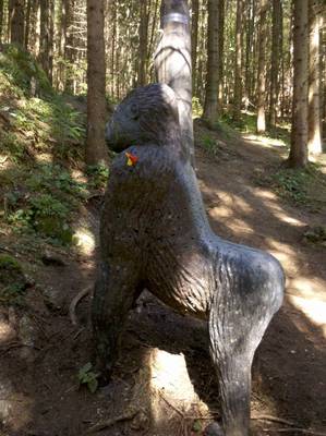
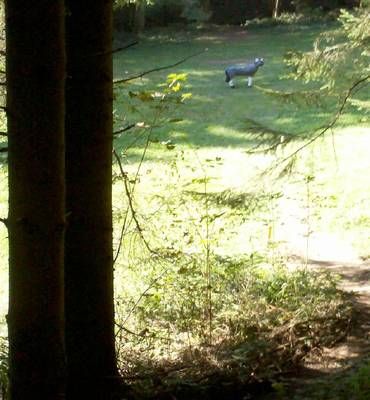
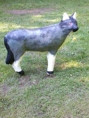
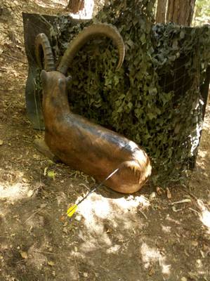
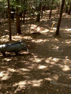
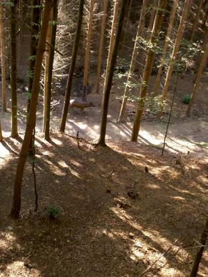
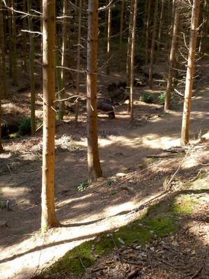
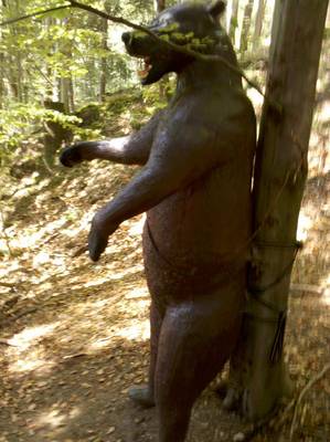
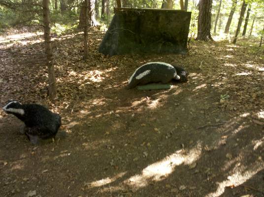
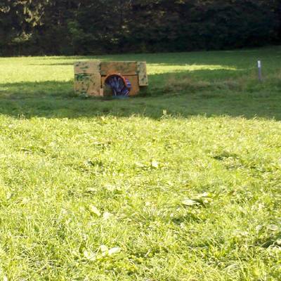
When you regretfully continue on your journey, you will have to scale the height you just came down from. Wooden steps have been placed strategically to facilitate the ascent. The next several targets are surrounded by hidden rocks, take care. Some of them have backstops, nicely blended with the background. The targets are made from a dense material, so your arrows will not penetrate too deeply and you will be able to take them out easily. One or two targets are not particularly aesthetically pleasing, but you will not notice this from your shooting point. The flatland part of the route offers some nice long shots, and there are some downward and upward shots as well.
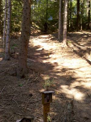
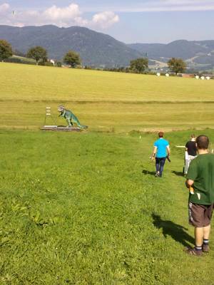
When you reach the top, you go briefly through the forest. If you want, you can take a shortcut and skip five targets which require you to climb up and down. In the end you reach a clearing where the highlight of the parcours is waiting for you – a 5.5 metres tall dinosaur which you can fire at from very long distances. As improbable as it sounds, it is possible to miss it; nevertheless the grass behind the dinosaur is nicely mown, so you can find your stray arrows easily. All in all, this is a very nice parcours which can be visited by the whole family as a relaxing day trip. You can hire equipment on weekends for 5€, or phone in advance to book it if you go on a workday. You can also relax and eat at the club house during the weekends.
A nice feature – the dinosaur is so huge that is would have been impossible to retrieve arrows stuck in its head. Luckily, the organisers have thoughtfully provided a movable ladder.
Worth to visit in the area are the Yspertal ravine (ca. 4 km North of the parcours), the Maria Taferl Chapter, the Stilstein ravine close to Grain an der Donau, (
http://alpintouren.com/de/touren/wandern/tourbeschreibung/tourdaten_26454.html), the Wolfsschlucht ravine close to Bad Kreuzenberg (
http://speck-alm.at/region/wolfsschlucht/ or
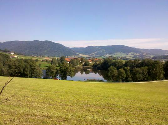
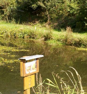
http://www.gsundleben.at/site/tour/100300). In the immediate vicinity of the parcours, you can find three large ponds and a lot of hiking ground. On your way back to Vienna you can travel along the Danube or maybe even take a detour through Wachau.